"So everything is necessary. Every least thing. This is the hard lesson. Nothing can be dispensed with. Nothing despised.
Because the seams are hid from us, you see. The joinery. The way in which the world is made. We have no way to know what could be taken away.
What omitted. We have no way to tell what might stand and what might fall."
― Cormac McCarthy, The Crossing
 Guadalupe Peak, the tallest peak in Texas at 8,751 feet has been on our to-do list for a while. We had considered it for training for
EBC we never ended up there. Finally, we got it planned for December of 2024. It’s around ten hours drive
from where we live going northwest. The peak lies inside the Guadalupe Mountains National Park and has
fascinating geology emerging from an ancient ocean
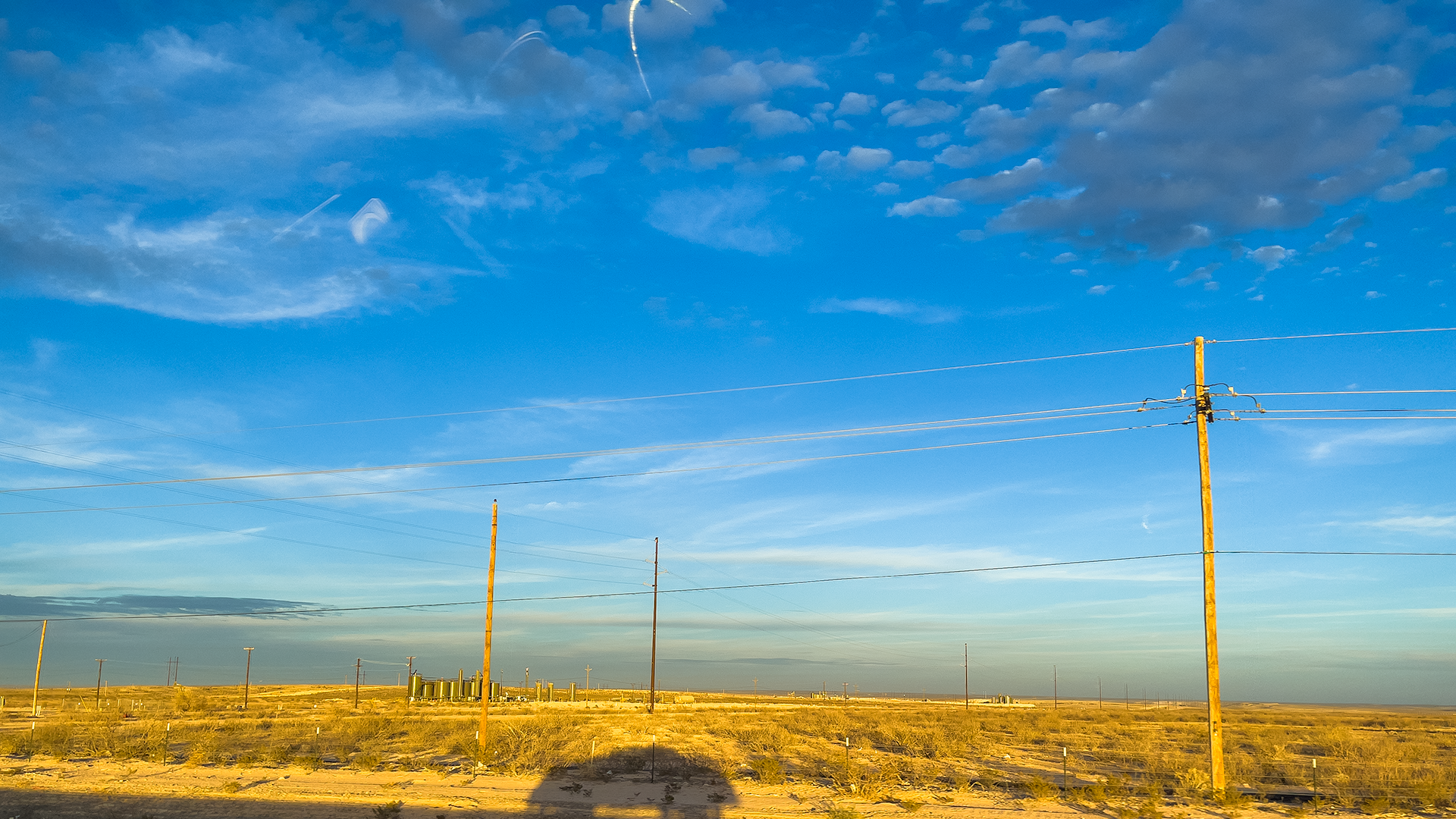
reef of the Permian age. Driving the final stretch of the distance going into west Texas, you cannot miss miles of Oil and Natural Gas facilities with tanks,
compressors and flares dotting the landscape which are indeed pulling the hydrocarbons produced by the fossilized marine creatures buried under layers of shale
and cooked over millions of years.
The nearest town to the Guadalupe Mountain National Park is Carlsbad, New Mexico which is a tiny city catering to
the Oil and Gas workers with its chain hotels and restaurants or the tourists that come to visit the parks in the area.
 There are several great hikes in the park but given we had planned to be there only for two days, we had to do the
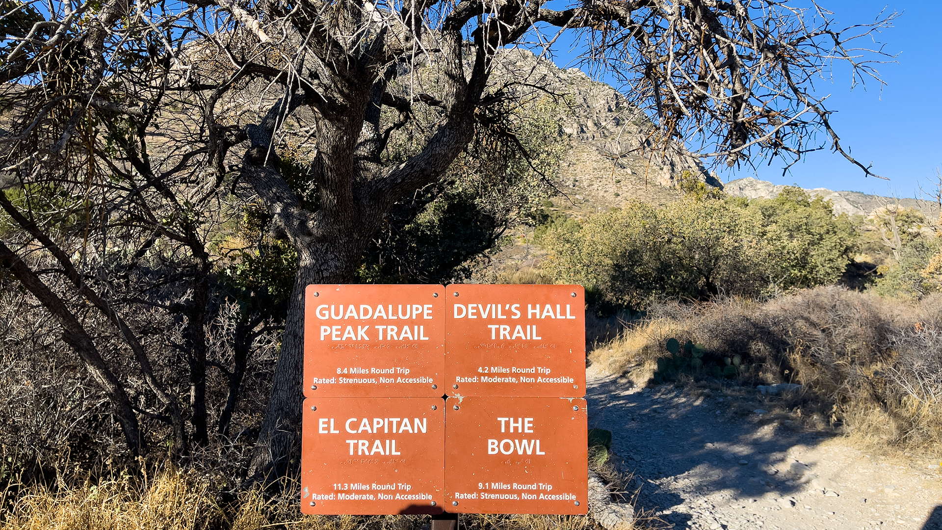
Guadalupe Peak Trail first.
The trail is a 8.4 Miles out and back trip with a gain of around 3,000 ft. Garmin confirmed that the distance is exactly 8.4 Miles but the elevation gain was around 3,400 ft.
 To get to the trail you will need to go to the Pine Springs area which is the primary hub
for all activities in the park. It has a visitor center, parking and facilities. The center opens at 8:00 AM but do check the time on the website. We had
to pay a day use fees of USD 10 per person which is good for a week. The closest parking to the Guadalupe Peak Trail is a mile further down from the
Visitor Center and we were able to get parking there but during peak season it does get full very quickly. In fact, we were probably one of the last cars to get parking
there and we had reached the visitor center at 7:45 AM. Also remember that even though the park is in Texas it falls in the Mountain Time Zone and phones often show
Central Time Zone inside the park. Here is a good explanation of the time zone issue at the park.
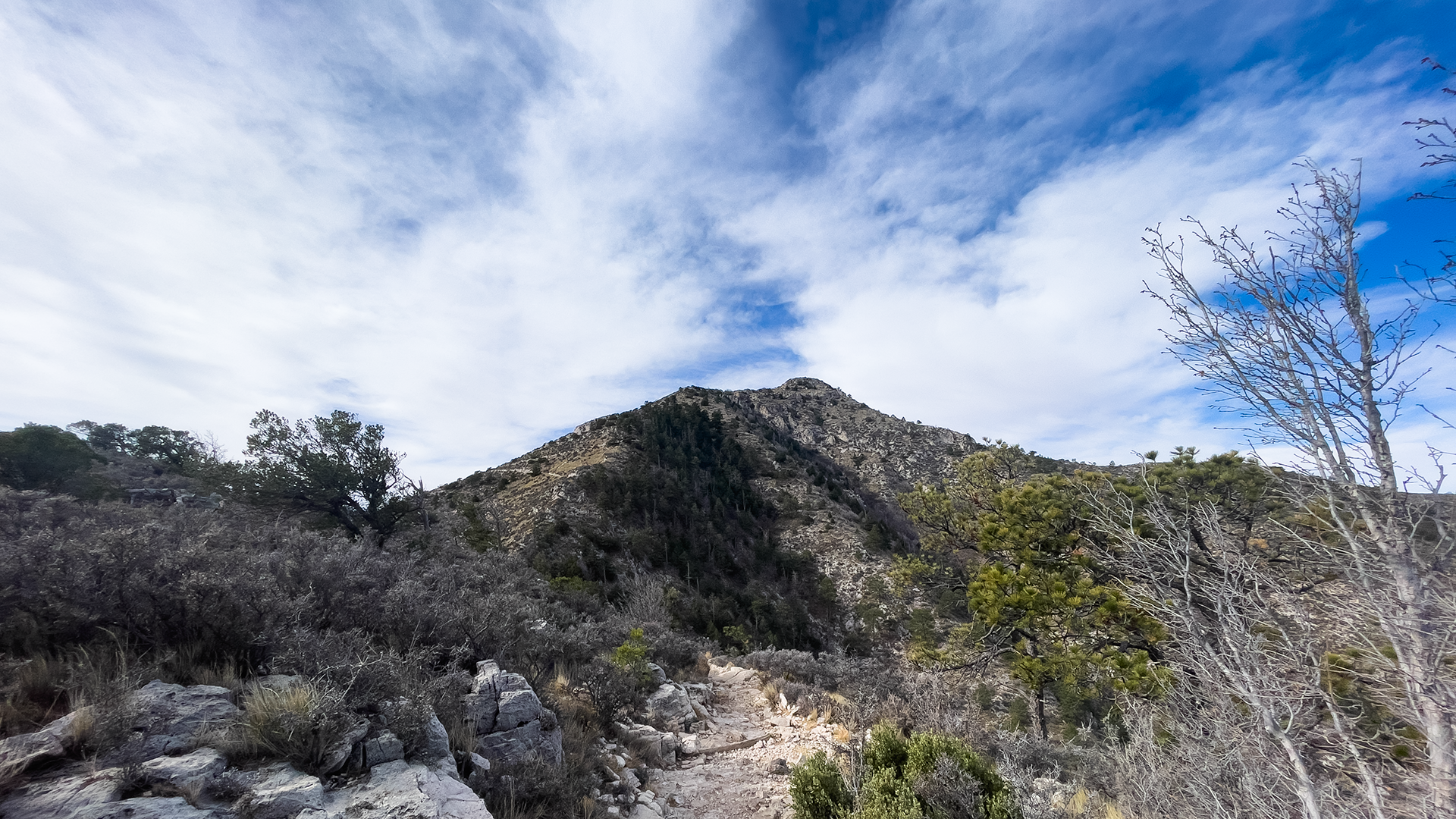
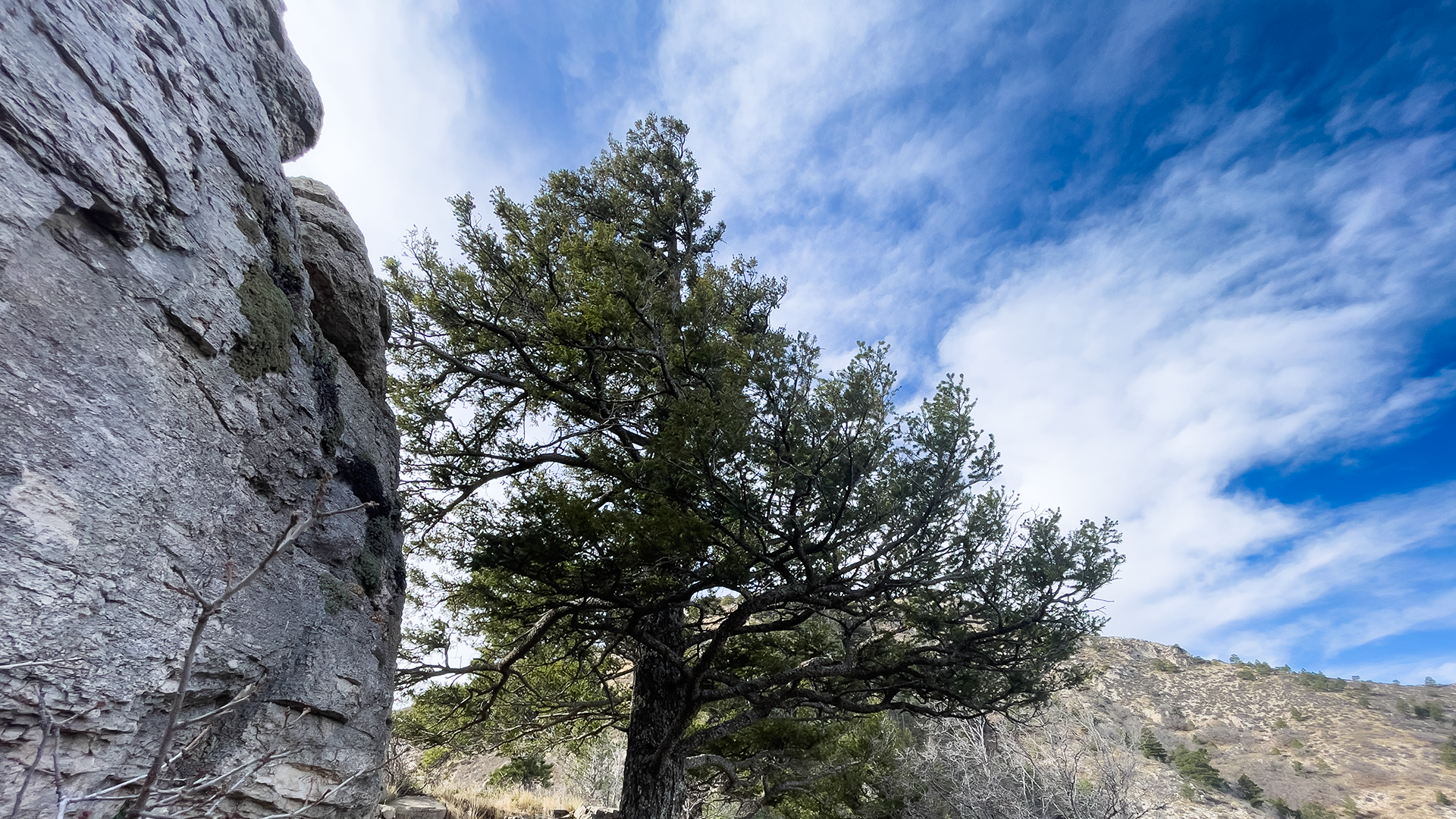 They say that the steepest part of the park is in the first one and half miles of the hike, but we were able to do pretty well on that section.
You do gain elevation quickly in this section till the trail passes a cliff and then turns around to the north-facing slope. We did encounter pinion pines,
south-western white pines, and Douglas firs. The forest exists here since on a north-facing slope there is not as much sunlight. The slightly cooler, shadier climate allows these pines to survive.
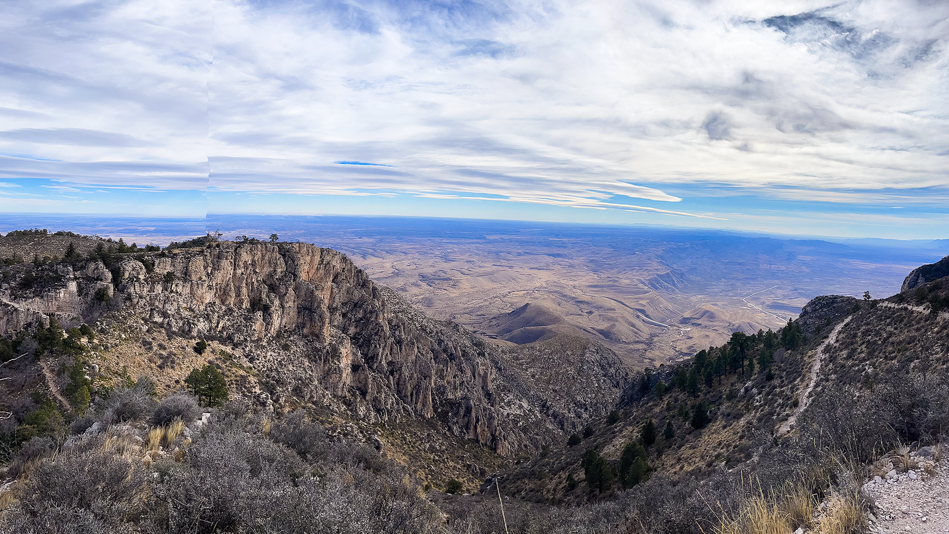 After nearly three miles the trail tops out at a false summit with a mile to go for the actual summit. We encountered forests of ponderosa pines here. We carried around 64 ounces water for each of us and a can of iced tea which in the
winter season was adequate, but the general guidance is to carry a gallon of water per person per day which I would imagine is absolutely necessary to hike in the summer.
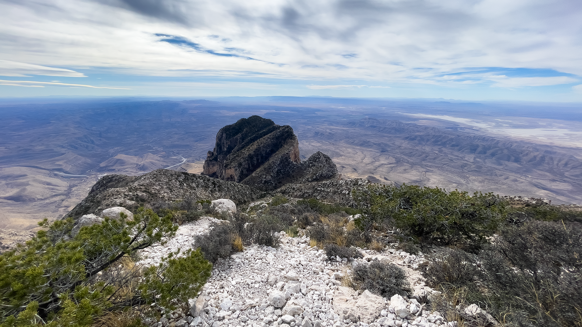 After the false summit the trail descends a little. We crossed a wooden bridge and then the trail starts to climb to the final summit. Soon we were above the height of the El Capitan which is the southernmost
point of the Guadalupe Mountains and dominates the view on your left.
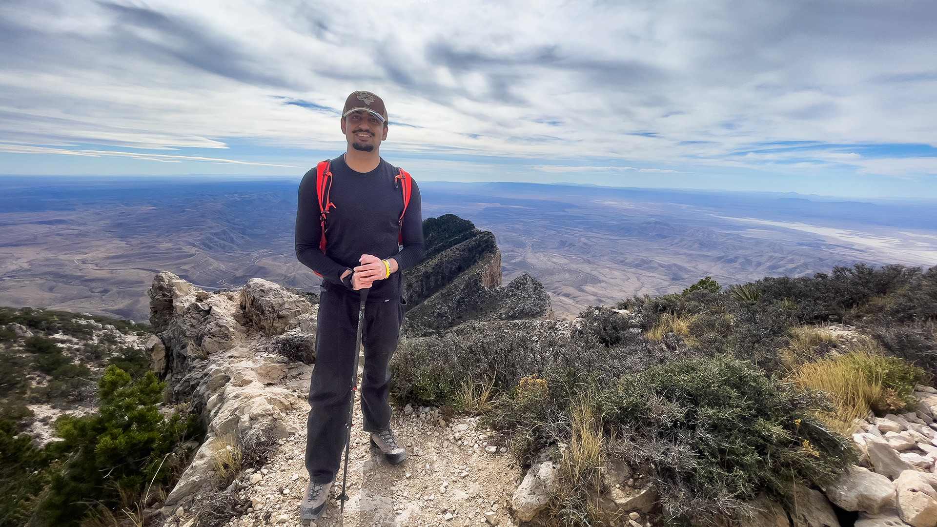 And to our fascination this view of the grand Permian period reef lifted and exposed by tectonic activity over
millions of years looks exactly like the map of Michigan with is characteristic shape of a mitten. We will call El Capitan the Mitten Peak from now on!
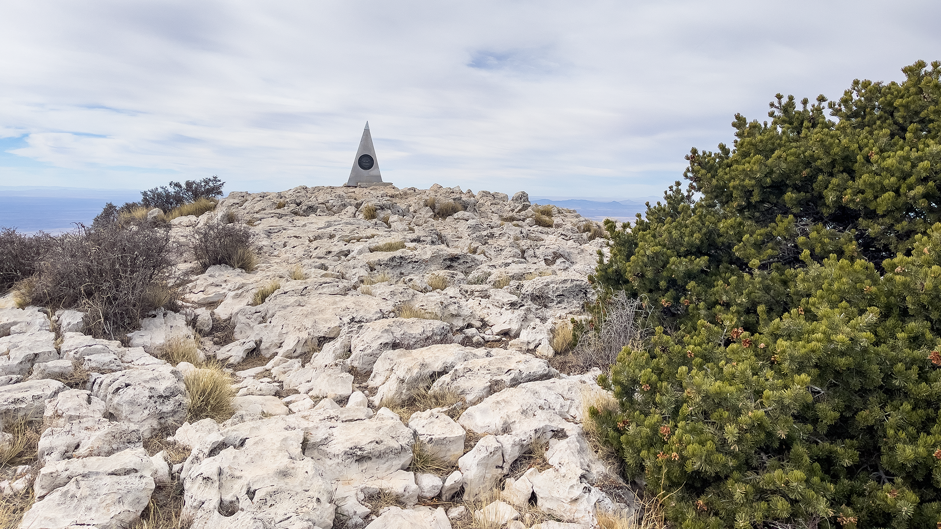 The last part of the hike was a serious rock scramble and was probably more difficult than the first portion. It definitely was the hardest for me to descend. But the big monument at the top makes a wonderful sight!
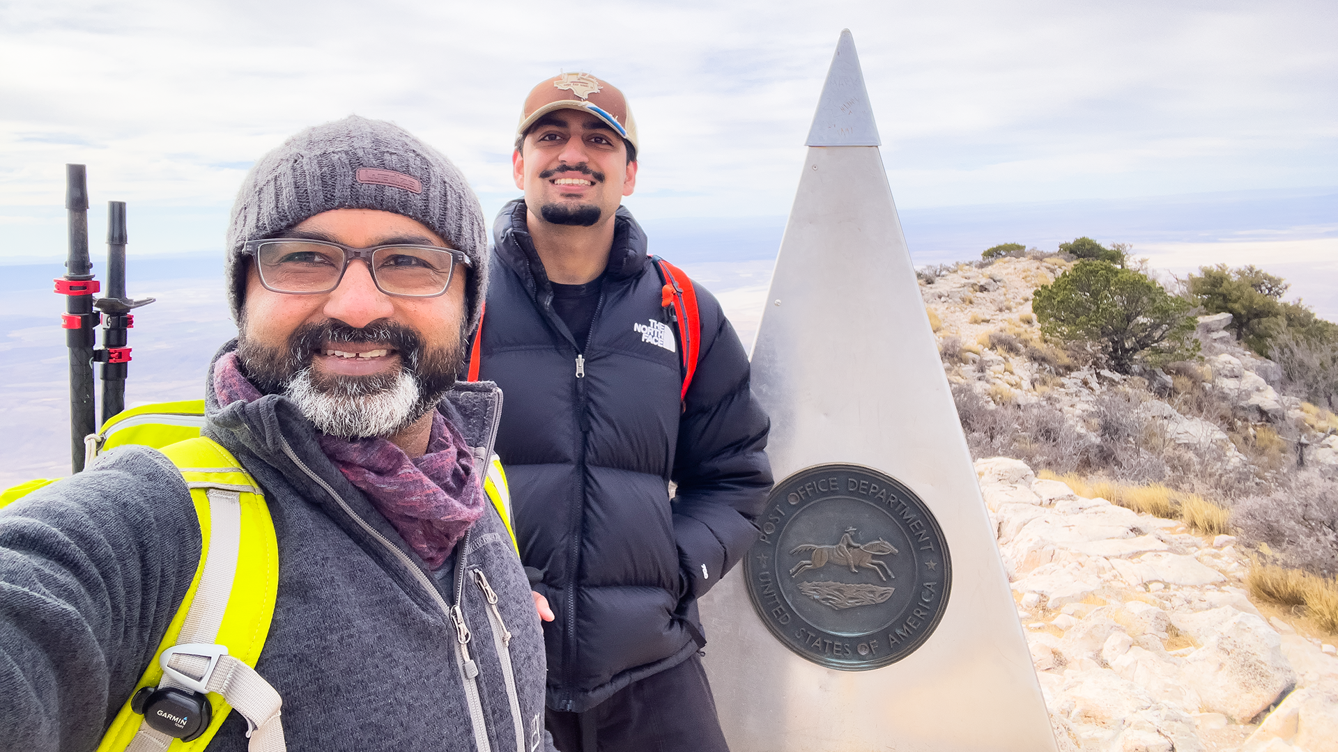 The peak has small pine trees which provide a little shelter from the gusty winds at the top. There were several hikers at the top. We signed the book which is kept in a weatherproof box. Someone told us that they
keep all the books in the library at the visitor center and you can find the old books decades later. Hopefully we will be able to go back after a couple of decades!
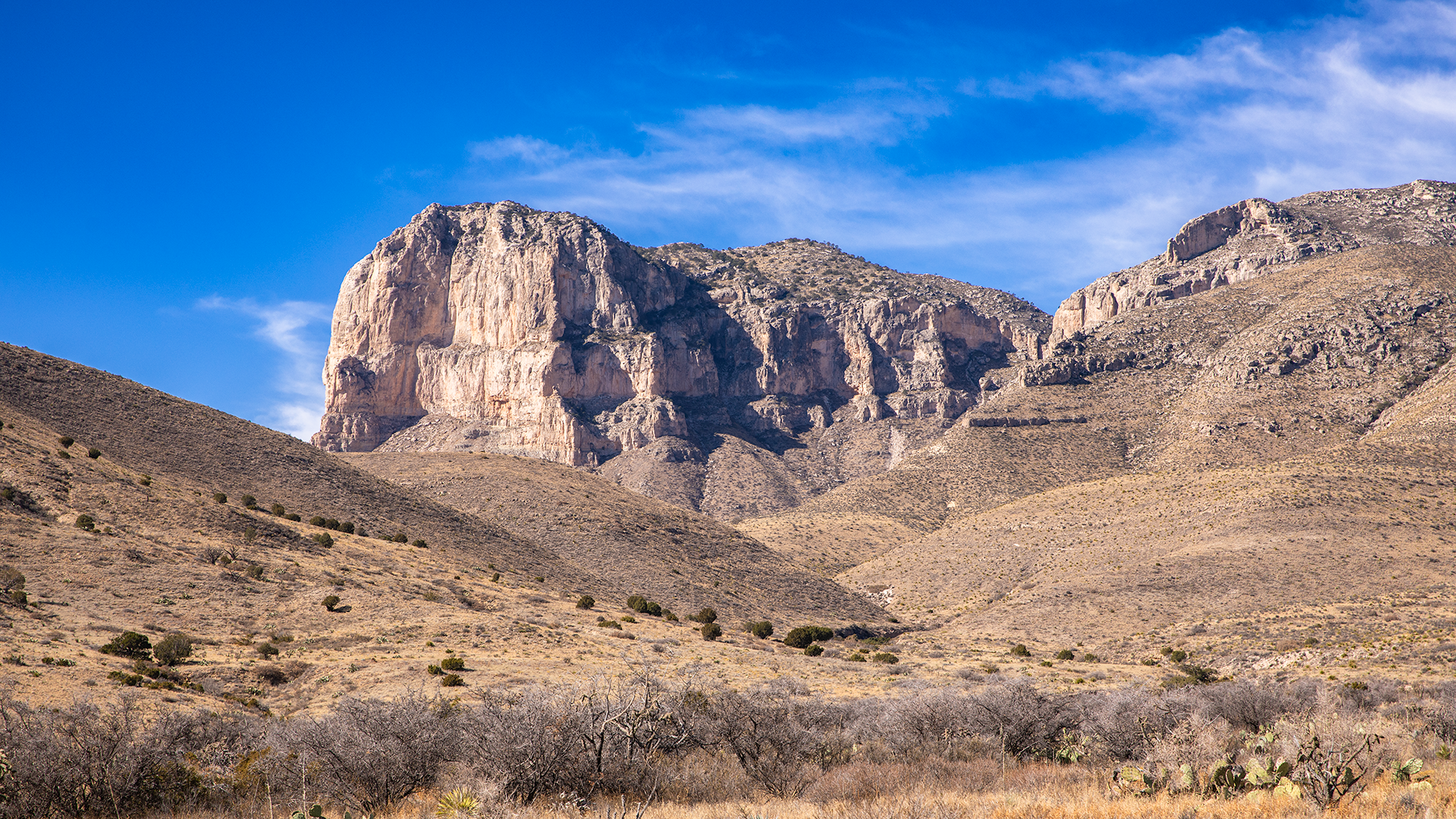 We were sore the next day but in a nice way. Still we decided to take the day easy. We had an okay dinner the previous night at a local brewery called the
Guadalupe Mountain Brewing Company in Carlsbad. They had some decent
food and fresh beer which was indeed very welcome. We decided to drive around the park and visit all the view points and get some nice pictures of El Capitan and the Guadalupe Peak.
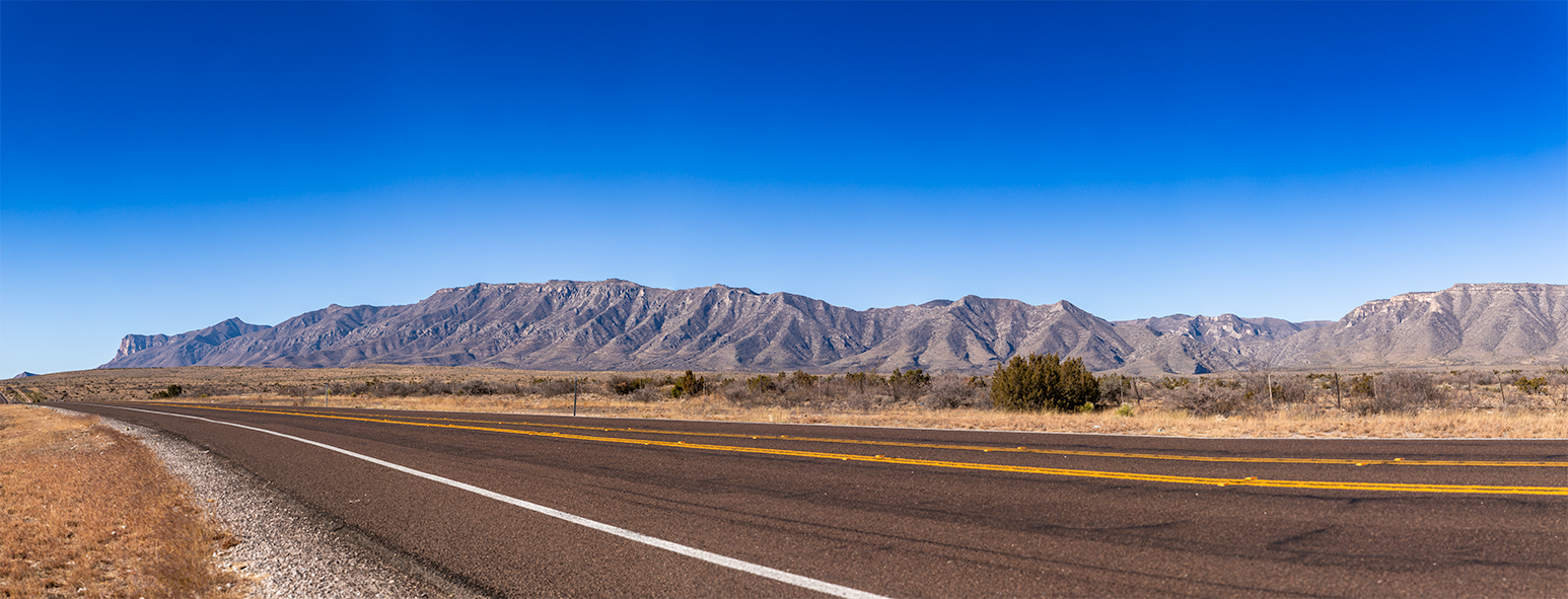
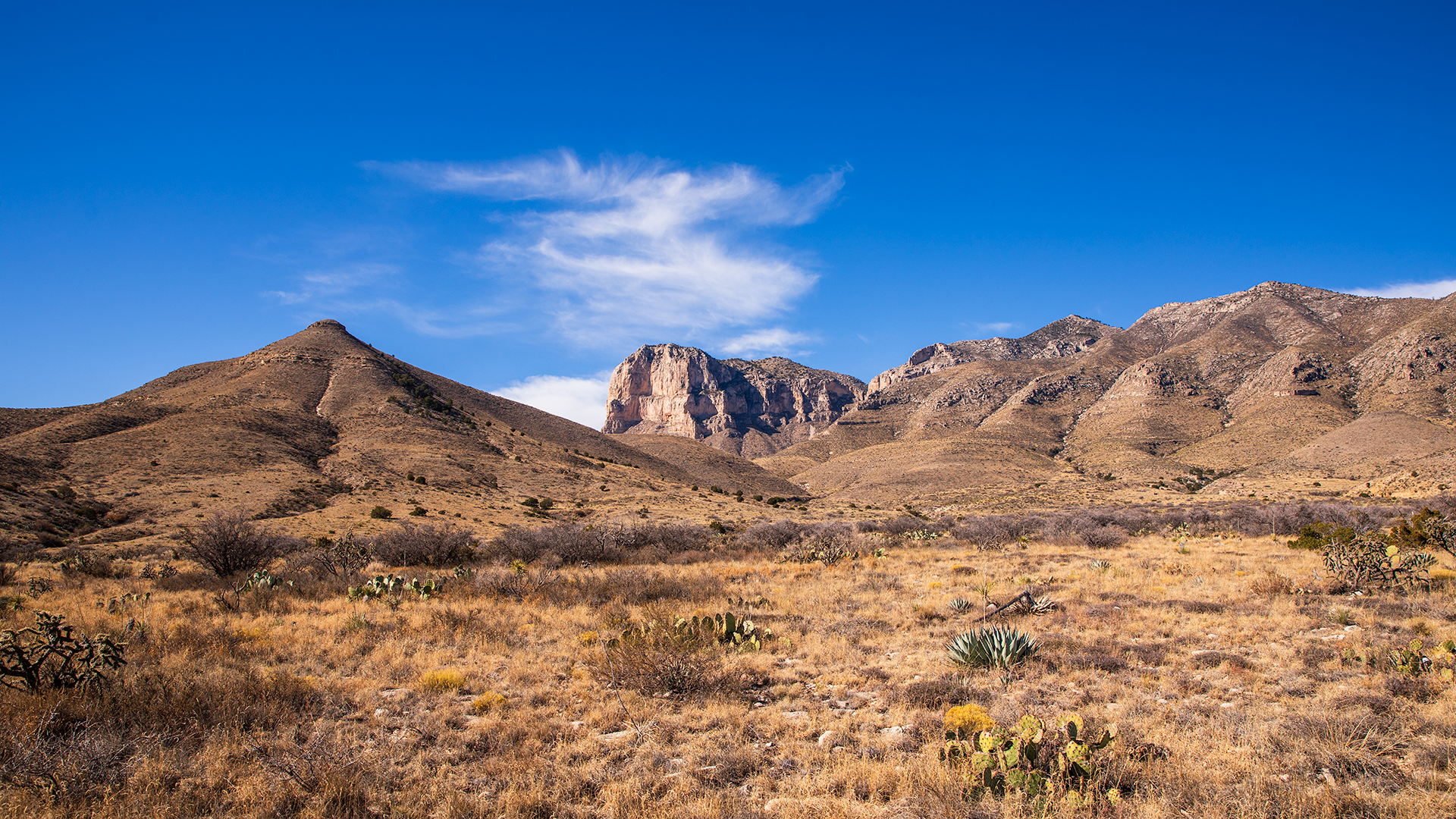 El Capitan is indeed a beautiful mountain juxtaposed against the Chihuahuan Desert.
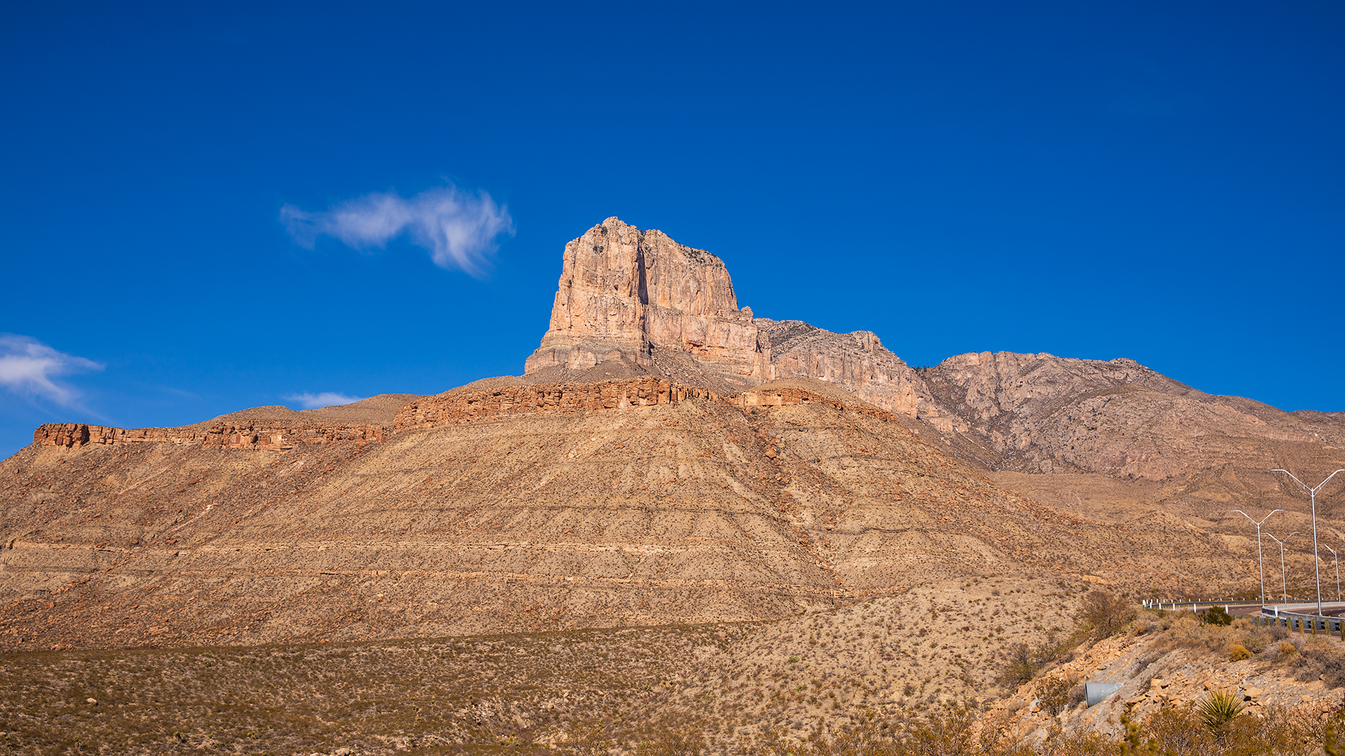 It forms an impressive view when driving along the park access road of US 62/180. And with these few photos we bid adieu to the park and prepared to head back home.
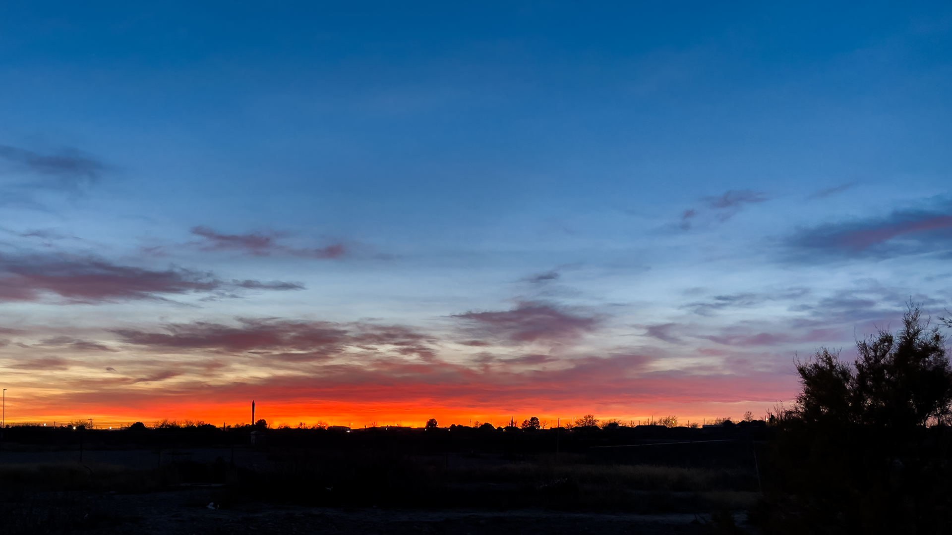 We cannot end this blog without mentioning El Charro where
we got the best meal of the entire trip. It is an authentic Mexican joint frequented by the locals and serves a killer birria taco.
We loved the variety of sauces and tangy pickled carrots and onions that you can get from the counter. And of course we had to get the Jarritos to go with the tacos.